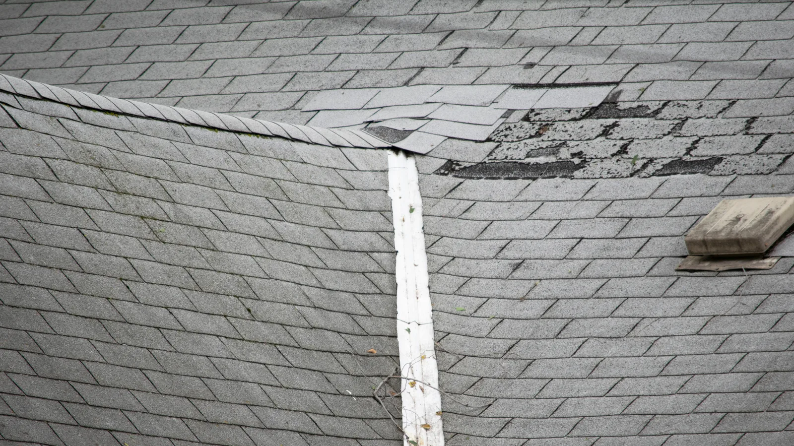
Creek County storm reports: 2025 and 2026
Look up NOAA reports for Creek County, Oklahoma, from 2025 and the available January–June 2026 records.
The inspection is free and a roofer walks the roof when conditions allow. You decide what happens next.
Reported events are context for a roof concern
This archive gathers NOAA Storm Events reports for hail, thunderstorm wind and tornadoes in Creek County. It covers 2025 and the available January through June 2026 data in files checked September 21, 2026. Later 2026 events are outside this snapshot.
The records include named report locations across the county and may include several reports from one date. Use the filters to find relevant context, then read the location and magnitude with the report. A county report does not establish what happened to an individual roof; actual roof condition remains the basis for a repair discussion.
Explore the Creek County reports
Choose a year and event type to narrow the reports.
This collection contains 22 reports: 13 hail, 7 thunderstorm wind and 2 tornado reports. These are report rows, not separate-storm or roof-damage counts.
22 reports shown
No matching reports in this snapshot. Reset the filters to see the full collection. No match is not proof that no storm or roof damage occurred.
- Reported date22:17:00 · source CST-6EventThunderstorm WindRecorded location1 mile S of OiltonReported magnitude56 knots · measured gustNOAA event 1342662
- Reported date20:52:00 · source CST-6EventTornadoRecorded location1.85 miles NNE of HiltonReported magnitudeEF1NOAA event 1325192
- Reported date20:51:00 · source CST-6EventThunderstorm WindRecorded location1.96 miles NNE of HiltonReported magnitude70 knots · estimated gustNOAA event 1327311
- Reported date20:50:00 · source CST-6EventThunderstorm WindRecorded location1.9 miles NNE of HiltonReported magnitude65 knots · estimated gustNOAA event 1327300
- Reported date17:18:00 · source CST-6EventTornadoRecorded location4.13 miles NNW of Bristow Jones ArptReported magnitudeEF1NOAA event 1320927
- Reported date13:40:00 · source CST-6EventHailRecorded location2 miles N of SapulpaReported magnitude1.00 inchesNOAA event 1318042
- Reported date13:36:00 · source CST-6EventHailRecorded location1 mile N of SapulpaReported magnitude0.75 inchesNOAA event 1318041
- Reported date13:06:00 · source CST-6EventHailRecorded location9 miles SE of Silver CityReported magnitude1.00 inchesNOAA event 1318040
- Reported date12:28:00 · source CST-6EventHailRecorded location0.58 miles N of DrumrightReported magnitude1.00 inchesNOAA event 1318039
- Reported date21:35:00 · source CST-6EventHailRecorded location0.54 miles W of New MannfordReported magnitude1.50 inchesNOAA event 1296192
- Reported date21:34:00 · source CST-6EventHailRecorded location0.48 miles SW of New MannfordReported magnitude1.00 inchesNOAA event 1296190
- Reported date20:59:00 · source CST-6EventHailRecorded location3 miles SSE of ShamrockReported magnitude3.00 inchesNOAA event 1295151
- Reported date17:39:00 · source CST-6EventHailRecorded location3 miles E of SapulpaReported magnitude0.75 inchesNOAA event 1294656
- Reported date17:38:00 · source CST-6EventHailRecorded location0.37 miles SE of KieferReported magnitude1.25 inchesNOAA event 1294652
- Reported date17:33:00 · source CST-6EventHailRecorded location2 miles S of SapulpaReported magnitude0.75 inchesNOAA event 1294655
- Reported date17:31:00 · source CST-6EventHailRecorded location3 miles NE of SapulpaReported magnitude1.00 inchesNOAA event 1294648
- Reported date17:28:00 · source CST-6EventHailRecorded location1 mile SE of SapulpaReported magnitude1.25 inchesNOAA event 1294647
- Reported date17:25:00 · source CST-6EventThunderstorm WindRecorded location5 miles NW of SapulpaReported magnitude52 knots · measured gustNOAA event 1294646
- Reported date22:35:00 · source CST-6EventThunderstorm WindRecorded location0.98 miles W of OliveReported magnitude58 knots · measured gustNOAA event 1280221
- Reported date15:02:00 · source CST-6EventThunderstorm WindRecorded location1.38 miles N of HiltonReported magnitude65 knots · estimated gustNOAA event 1263269
- Reported date14:55:00 · source CST-6EventThunderstorm WindRecorded location1.02 miles WSW of SapulpaReported magnitude56 knots · estimated gustNOAA event 1263270
- Reported date14:48:00 · source CST-6EventHailRecorded location0.59 miles ENE of MoundsReported magnitude1.00 inchesNOAA event 1263024
Read the location and report type together
A report describes where something was observed, in the units the observer used.
The location shown includes NOAA’s recorded distance and direction from the named place where those fields are available. A Kiefer label can identify a reference location for an offset report; it is not a property address. Multiple rows can describe different observations during the same weather event.
Hail magnitudes are reported in inches. Thunderstorm-wind magnitudes are shown in the source unit, knots, with the source estimate or measurement designation. Tornado rows show the reported EF rating where available rather than a fabricated wind speed.
Bring the roof concern back to the property
The archive gives you a date. The roof gives you the answer.
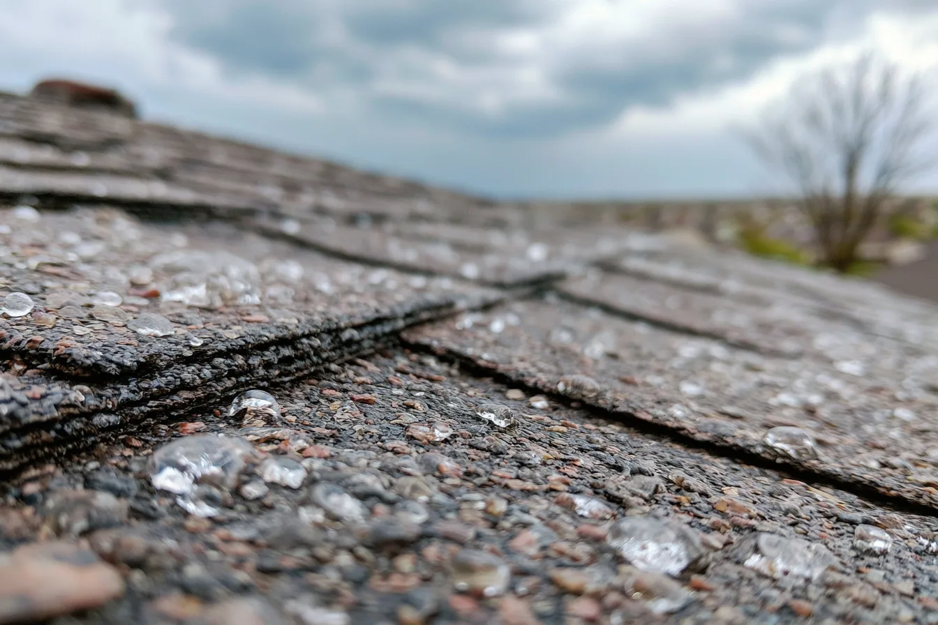
If you noticed missing material, disturbed flashing or water indoors after weather, request help with storm damage roofing. Share what you observed safely and its approximate timing, even if the archive has no matching report.
Keep away from wet electrical fixtures, fallen lines and sagging ceilings. Do not climb onto the roof to compare it with a weather record. Insurance coverage depends on the policy and claim findings, separately from the physical roofing scope.
Storm report FAQs
Why is the 2026 list incomplete?
This snapshot uses the available 2026 NOAA detail file checked September 21, 2026, whose latest record month is June. It does not present July through December as complete or as months without events.
Why are there several entries on one date?
One storm can produce reports at different locations and times. Each displayed entry is a source report row; the row count is not a count of distinct storms or damaged roofs.
Does a nearby hail report prove my roof was damaged?
No. It provides weather context at a recorded location. The free roof inspection connects your concern to the condition of the actual roof.
What if the filters show no matches?
Reset the filters or check another year or type within the stated period. No matches in this snapshot do not rule out weather or roof damage. You can request help based on what you have noticed at the property.
Ask about storm-related roof concerns
Tell us the property location and what changed after the weather. Start with a free roof inspection.